
The weather hasn’t been particularly conducive to spending much time out in the hills recently, so I’ve turned to the next best thing, that wonderful combination of spreadsheets and maps.
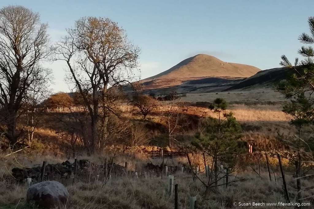
I’ve now released version 2 of my Excel file listing Fife hills, trig pillars, and hill forts. The new version updates the list to bring it in line with version 18 of the Database of British and Irish Hills. The only significant change seems to be the reassessment of the height of Mount Hill and it is now listed as 222m rather than 221m. This doesn’t mean the hill has got any higher; it just means the information is now more accurate!
Also included are some additional hills: the Sub-Tumps and TumpBeags. The TumpBeag list was only announced a couple of weeks ago so you could say this information is hot off the press.
So what are these hills?
Sub-Tumps (sometimes referred to as Stumps) have been with us for a while and consist of those hills that do not quite have sufficient prominence (all round drop) to be classified as a Tump (thirty metre and upward prominence). Hence they have a prominence of between 20m and 29.9m. TumpBeags meanwhile only require 15m of prominence. These two lists are not complete lists of all hills that meet the qualifying criteria as the focus is primarily on ground above 300m (in Fife this is the Lomond Hills and the Cleish Hills / Knock Hill areas). For the enthusiast though, they provide a few more “hills” that can be visited / bagged.
You can download the file from the Uplands of Fife page of Fife Walking.


Meanwhile work continues on the similar Excel file for the Ochil Hills area which is also in the process of being updated and expanded.
